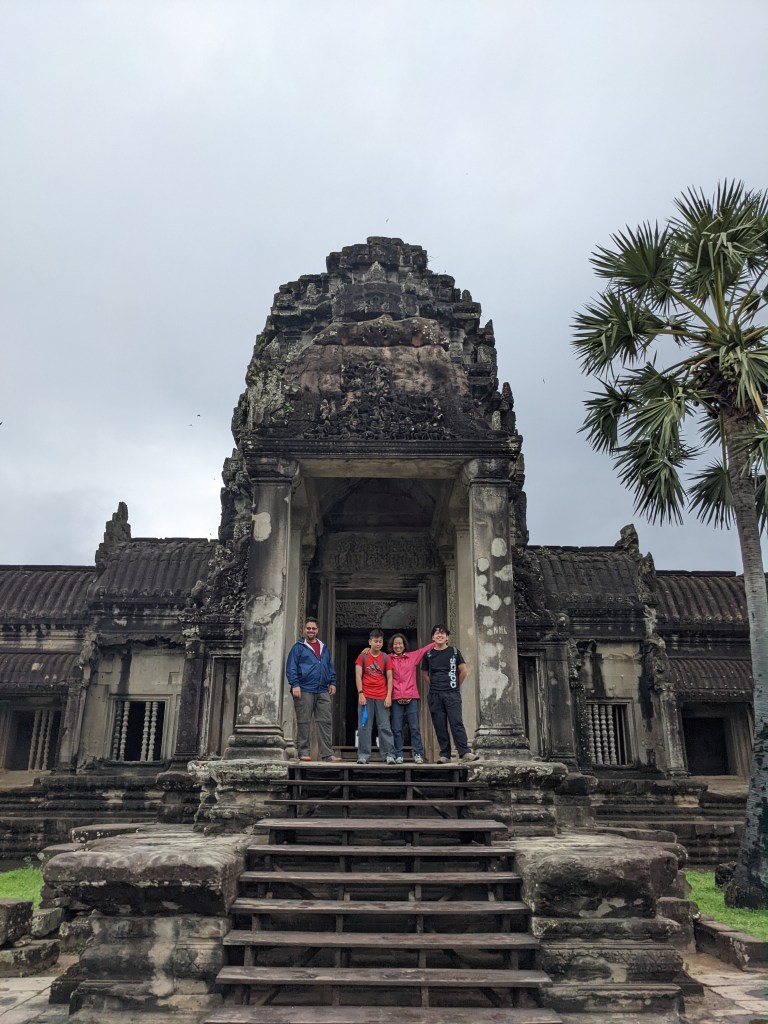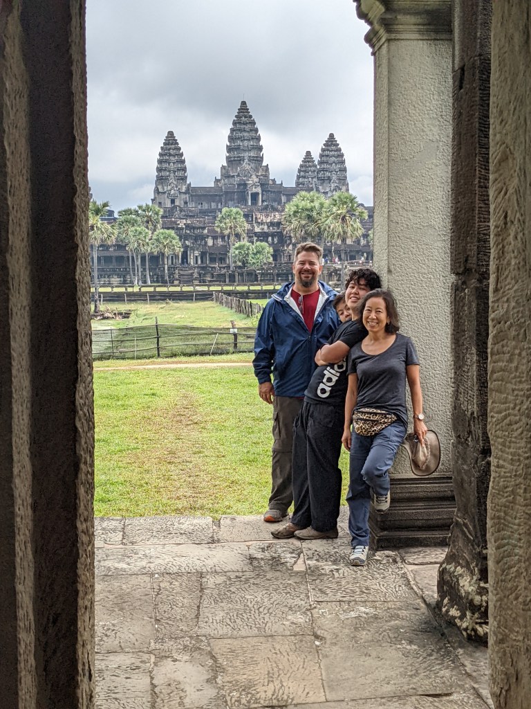
After Angkor Wat on the first day, we stopped and had a nice lunch before continuing on the small circuit of the Angkor Wat Complex. Seeing the less well-known temples was just as amazing since all the temples are unique in their own ways.
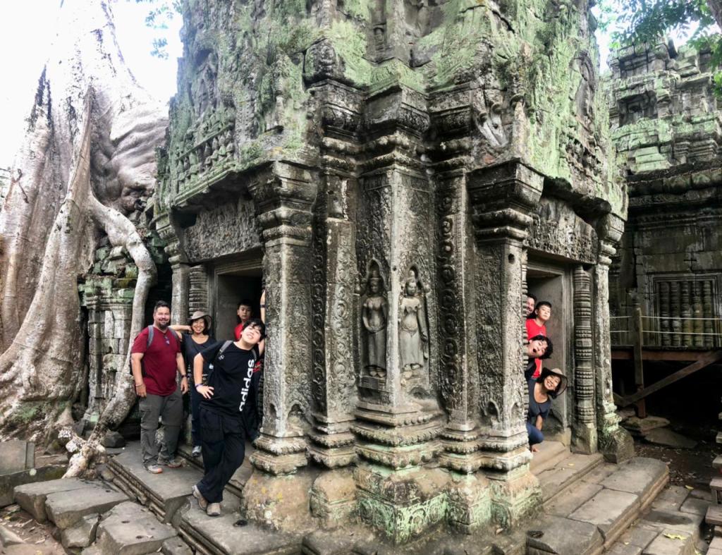
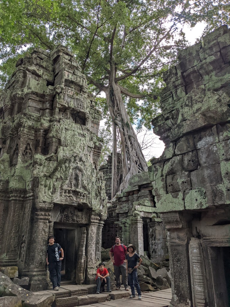
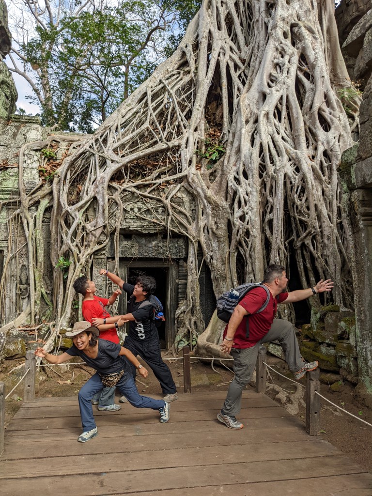
The first post-lunch spot was the Tree Temple (Ta Prohm). Known for the unrestored nature of the temple, with trees and vines growing throughout the temple, parts of it were being restored.


A crane and numerous workers were fixing, chiseling, and restoring the tree temple (sponsored by the Indian government).

Ta Prohm is also known as the filming location for scenes in the Tomb Raider (2001), starring Angelina Jolie as Lara Croft.


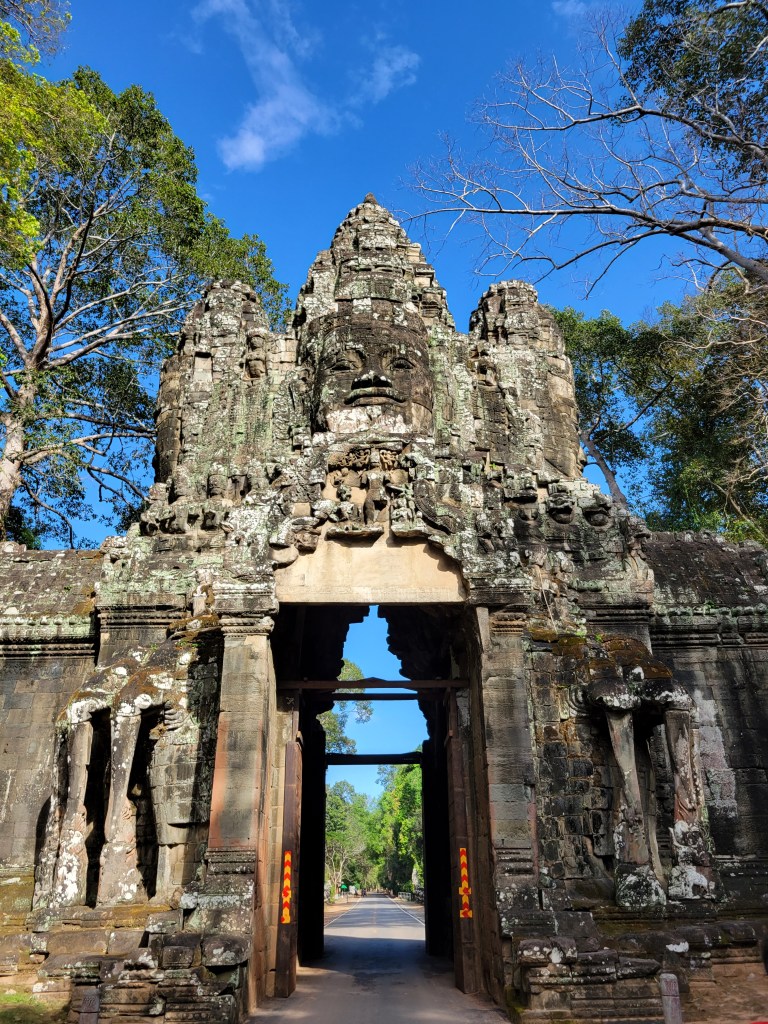
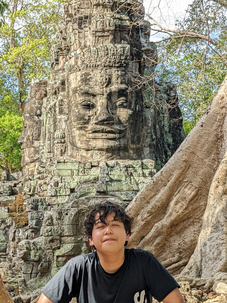
Next, we visited the Victory gate (eastern entrance of the Angkor Thom area). I posed with the buddha face on the side.
We saw the elephant terrace with carved elephants along the walls and the old royal palace.


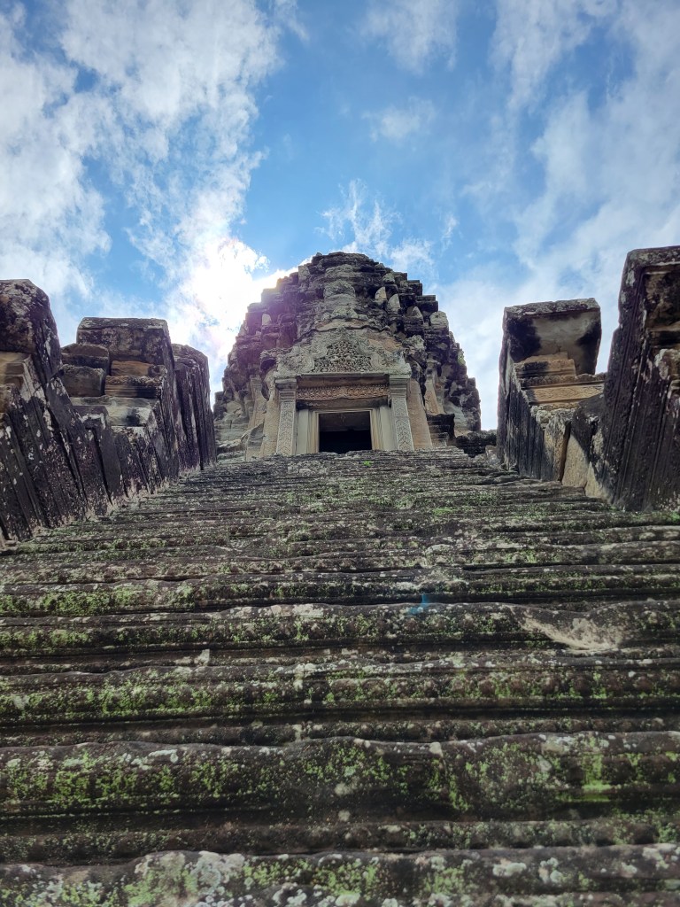
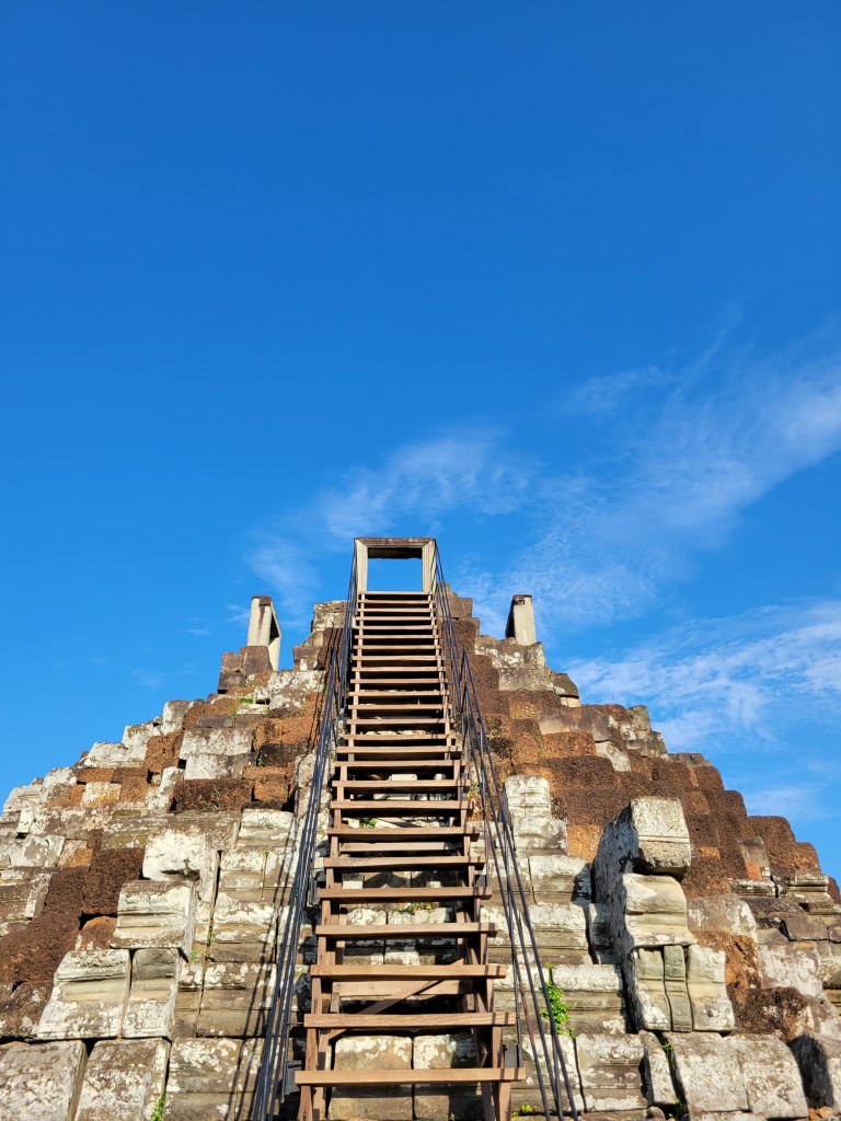
Next was Baphuon, a massive pyramid temple with steep stairs and cool doorways at the top.
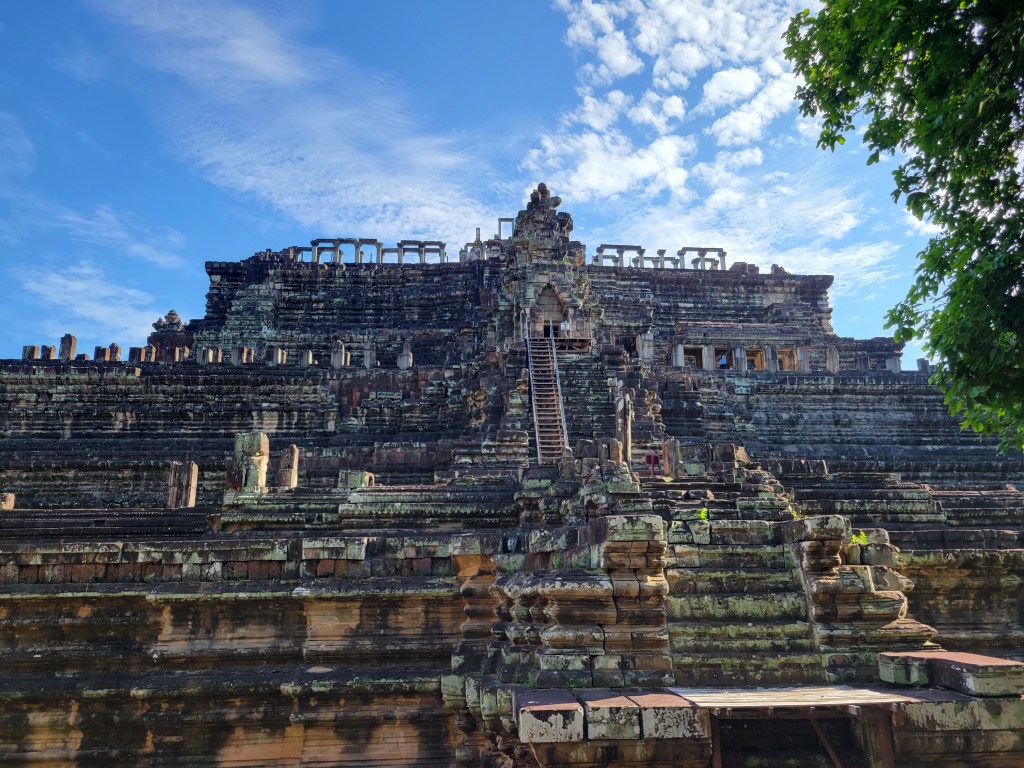

It was surrounded by at least 7 weddings (at just the one temple).

The final temple of the day was Bayon Temple, known for the hundreds of carved buddha faces on each tower and spire. Despite being one of the most well-known temples in the Angkor Wat Complex, there were maybe 5 other people in the whole temple.


Finally, we climbed up a hill to see the sunset. Unfortunately, it wasn’t sunset over a temple, but it was still gorgeous.

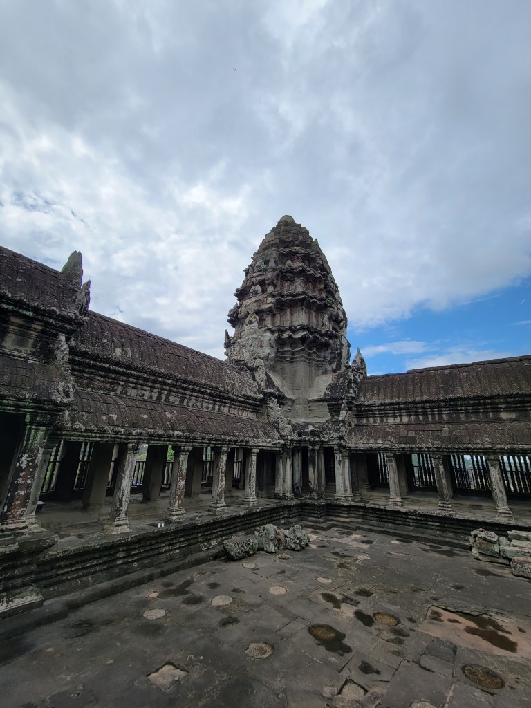
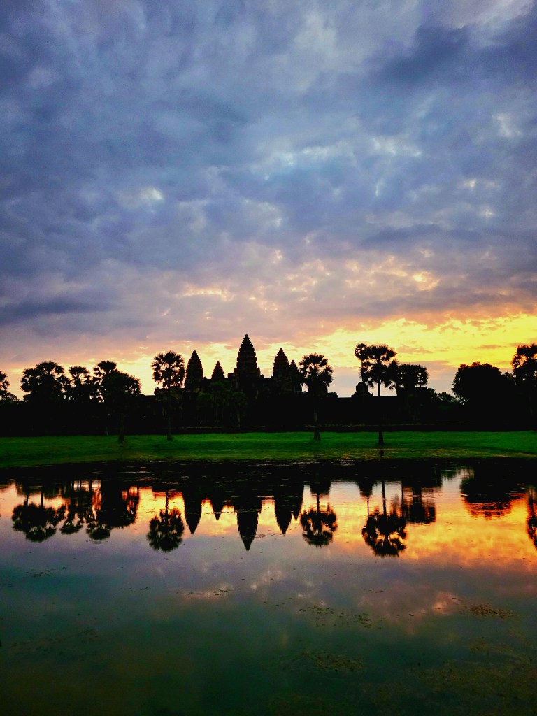
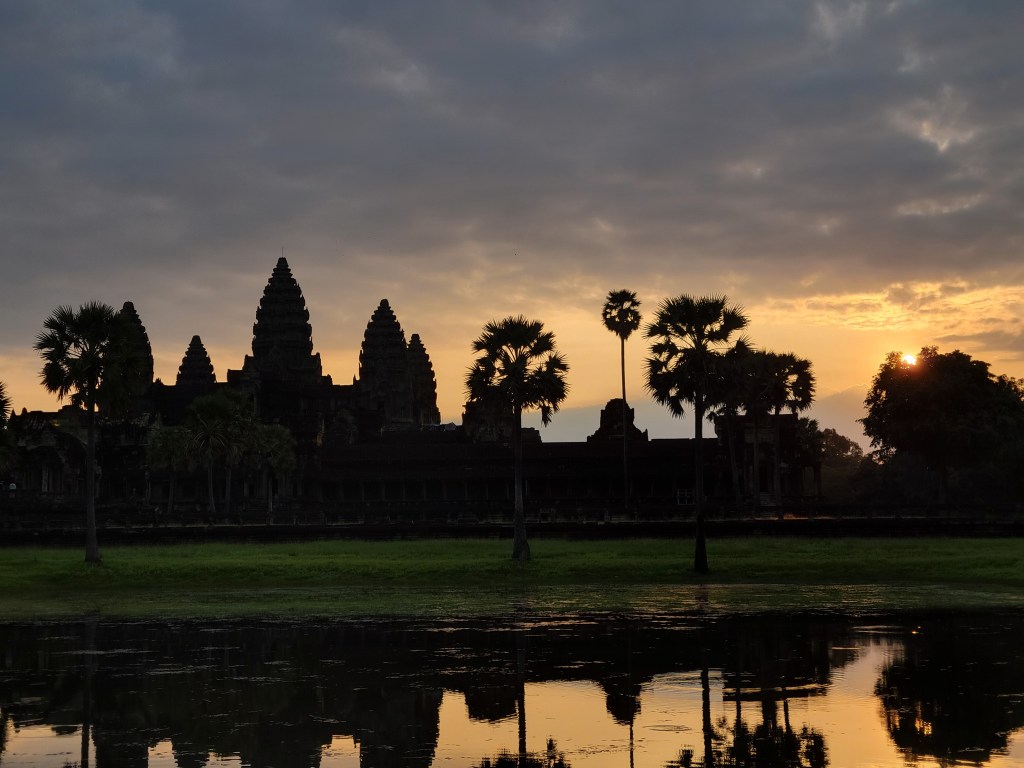
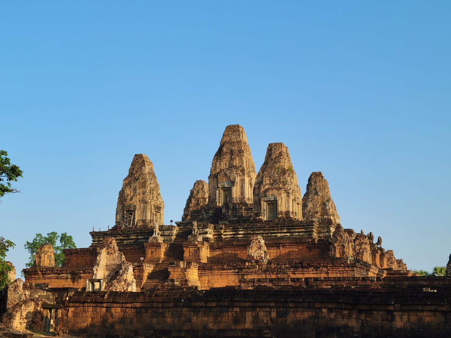
The next day, after a gorgeous sunrise over Angkor Wat, we tuk-tuked to Pre Rup temple, a tall red pyramid temple that was also being restored. It looked similar to Angkor Wat, as it had the 5 towers on the top.


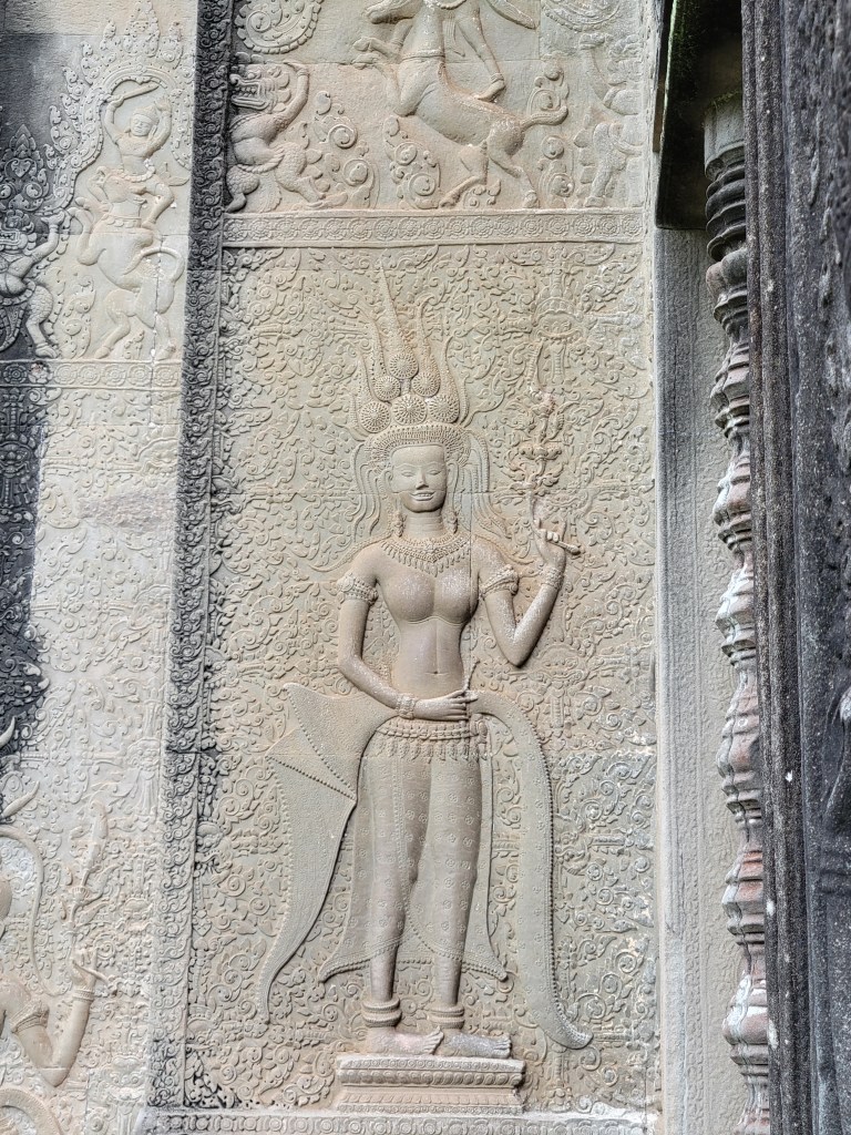
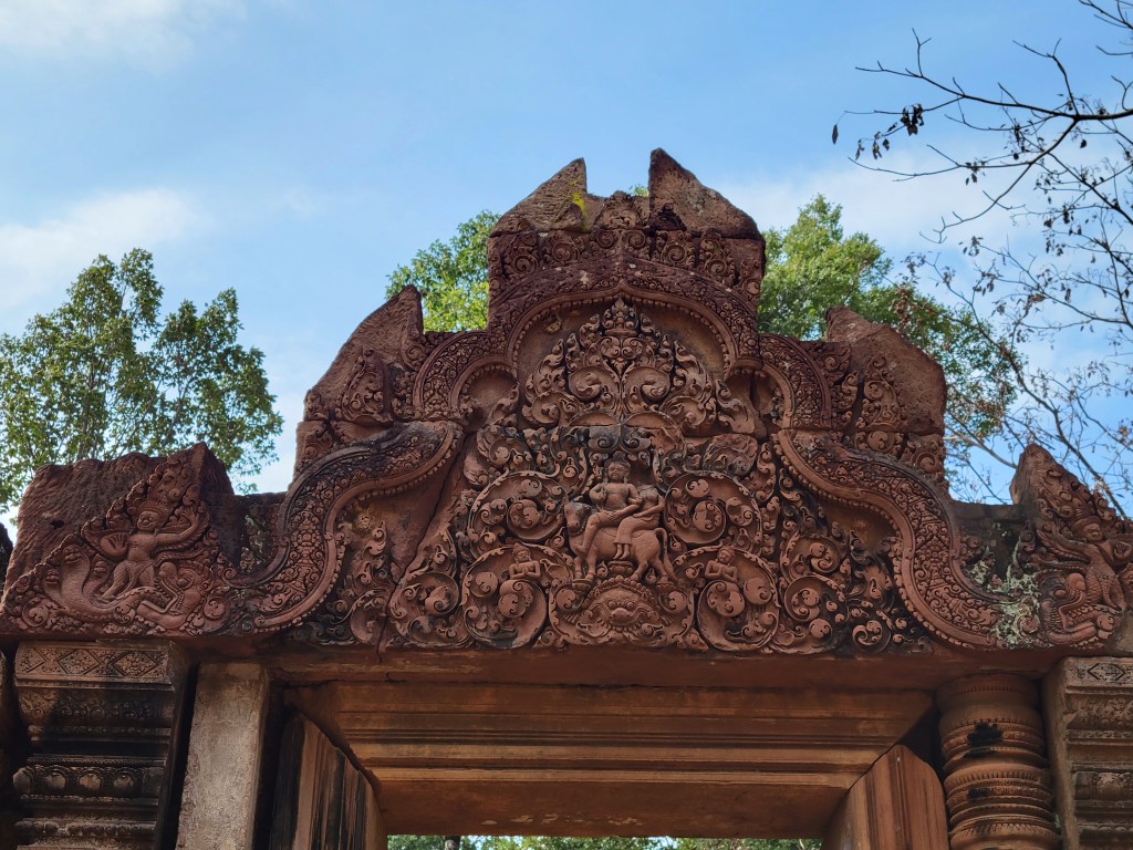
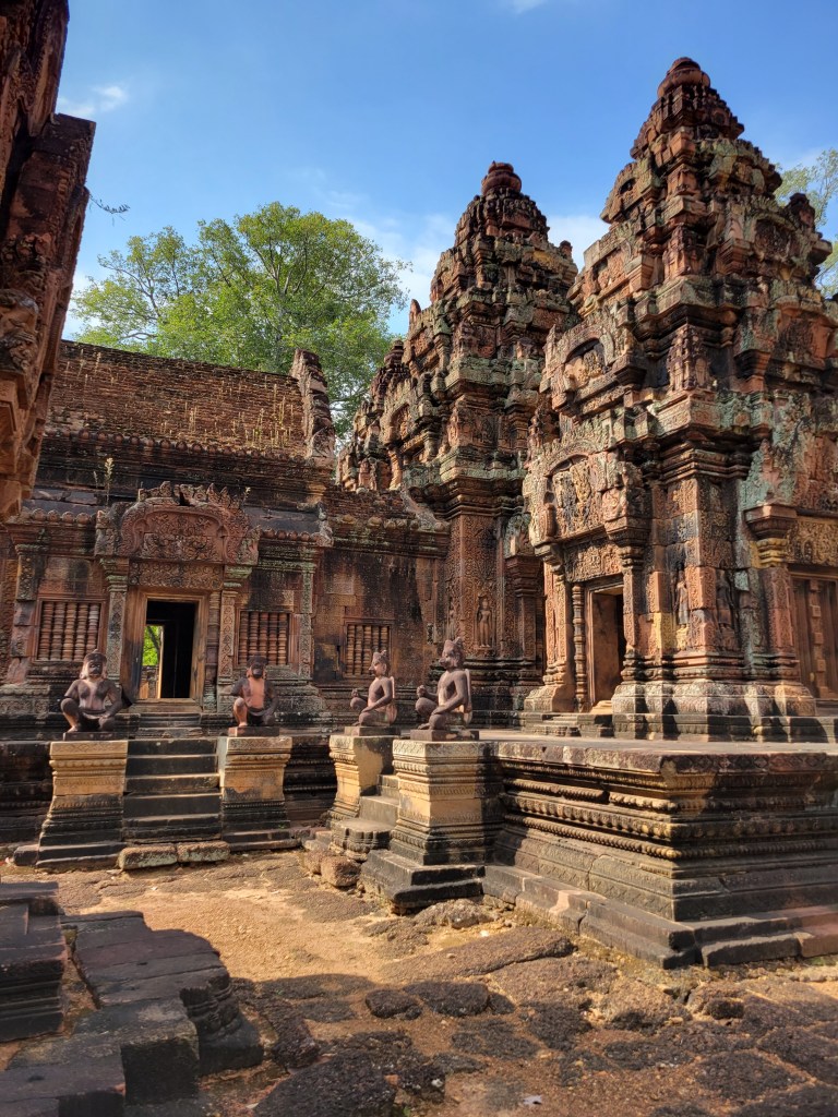
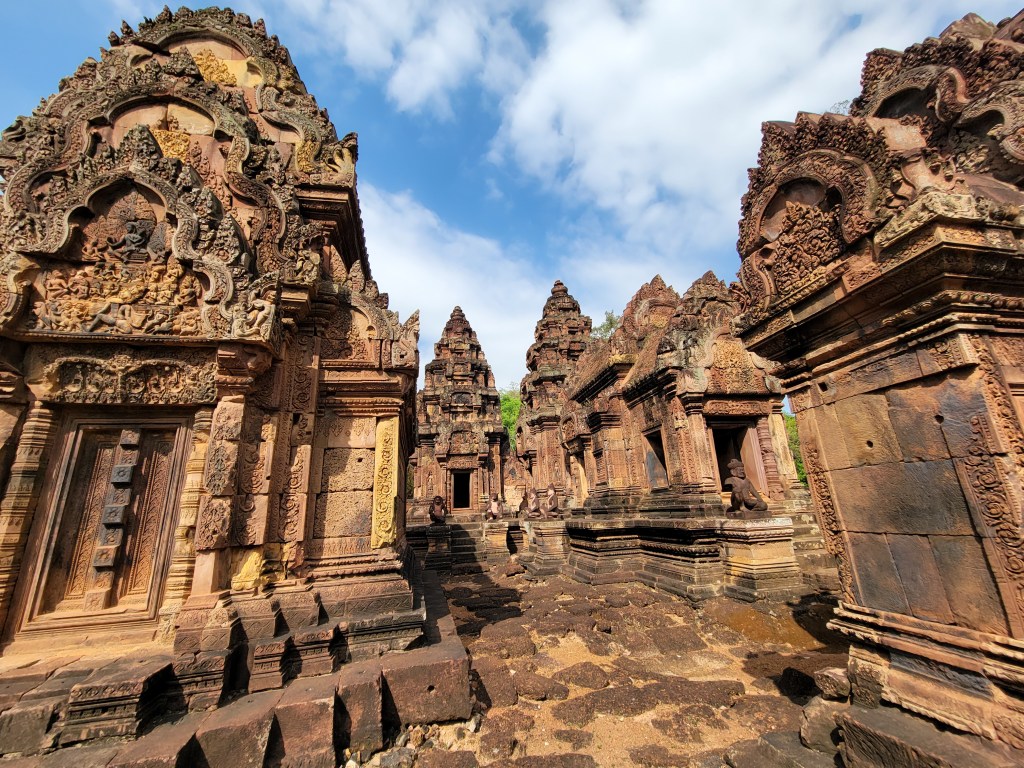
Then we drove an hour to Banteay Srei, a red sand temple with extremely intricate carvings and drawings. It had lots of towers, statues, walls, and of course, carvings.


We drove back to the big circuit of the Angkor Wat complex and visited Neak Pean. A water temple with four elemental ponds surrounding a large central pool with a temple in the center.


We had to walk on a makeshift bridge across the lagoon to get to the temple, as they were in the process of rebuilding the normal bridge.

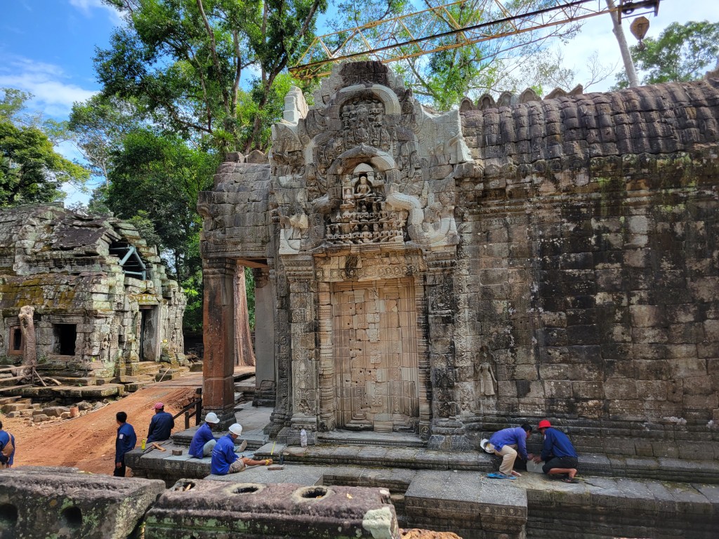
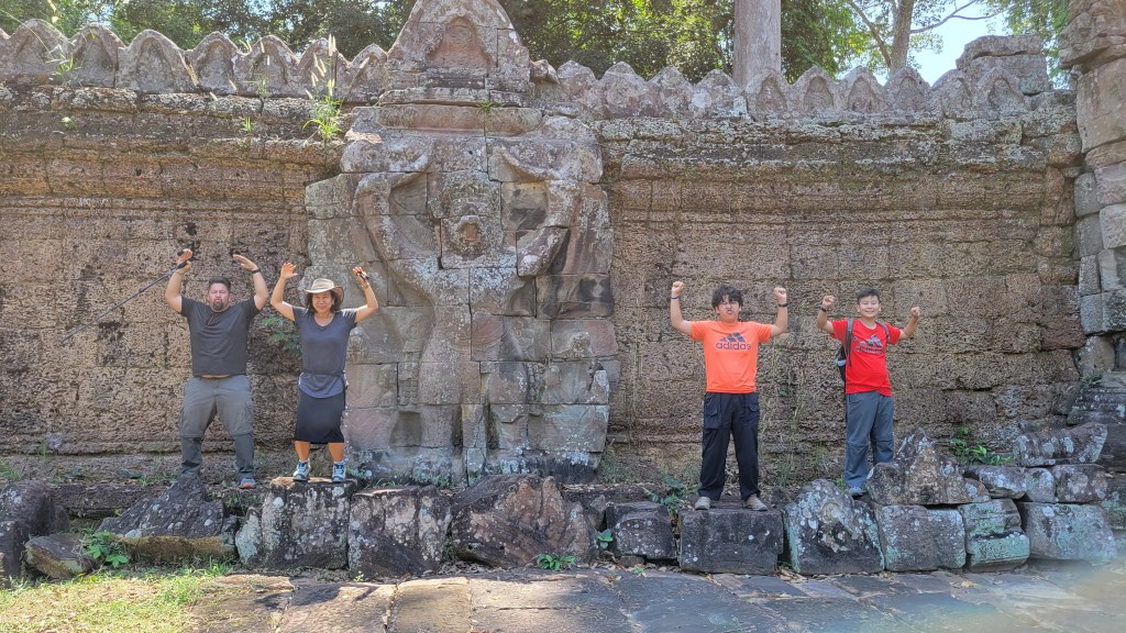
The final temple of our time in Siem Reap was Preah Khan. Dedicated to Jayavarman VII’s father, Preah Khan was surrounded by a wall decorated with tall carved Garuda.

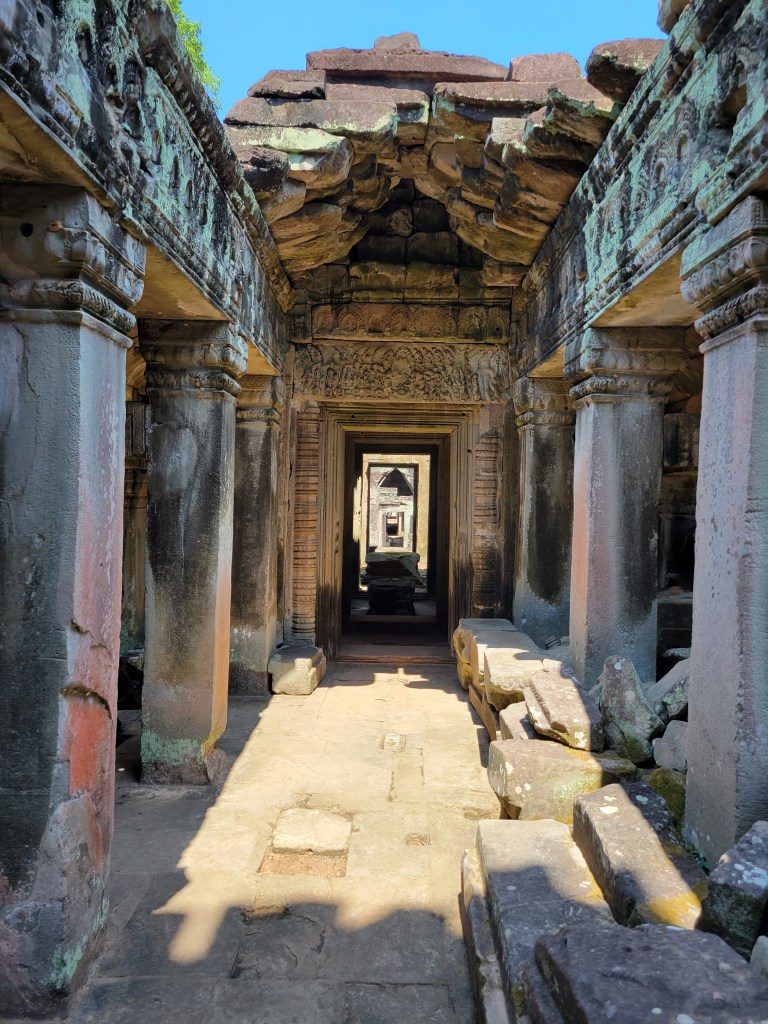
The temple itself was comprised of doors. Just doors. Every room had 4 doors, one in each cardinal direction. Each door led to another room with the same doors. Over and over and over. Doors, doors, doors.


The temples were amazing, but I think we are all very templed-out for now. Unfortunately for us, Thailand is also known for its temples…